Since 2015, INES Consulting Engineers has been working in the design of a new methodologic tool enabling to obtain a rating of geotechnical assets (cuttings, embankments and tunnels) managed by the Territory and Sustainability Territorial Services of the GENCAT.
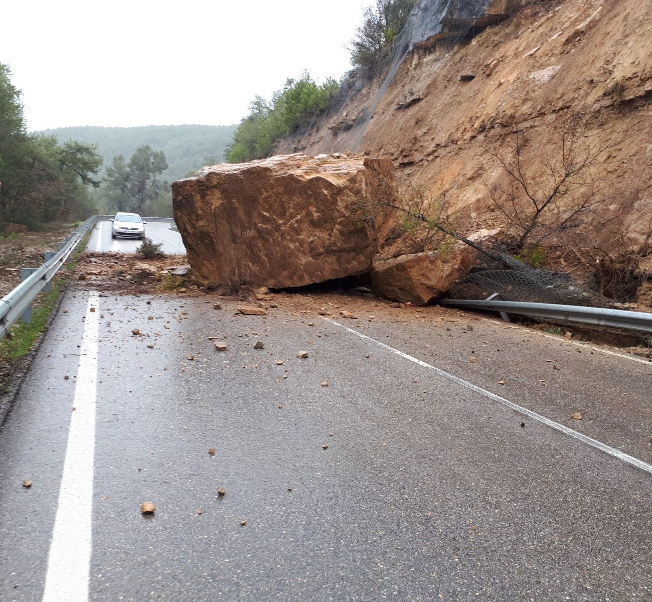
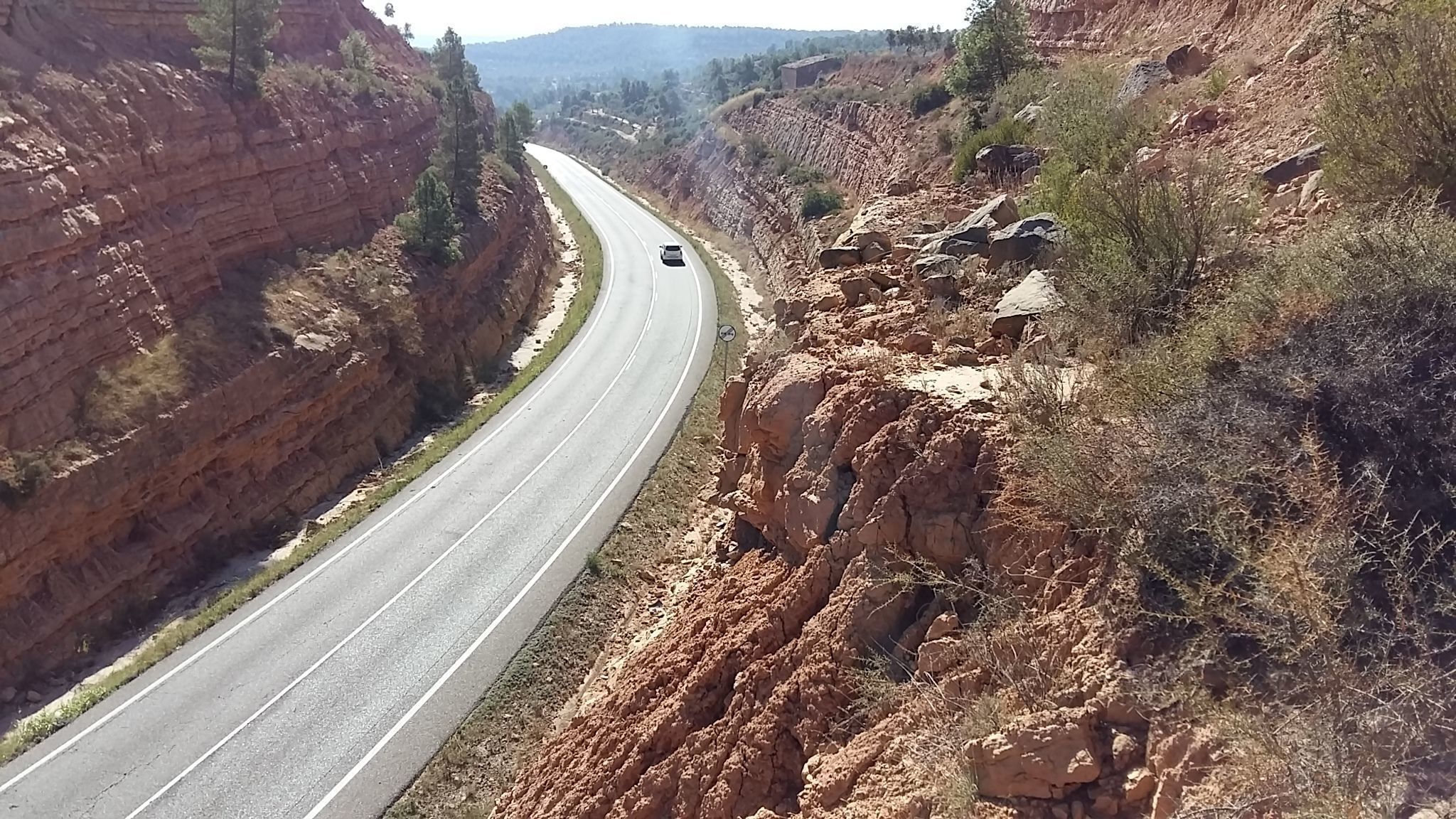
The Territory and Sustainability Territorial Services of the GENCAT, operating through the DGIM, is the main traffic operations administrator in Catalonia and manages directly 6,000 km of roads, giving service to over 840 million users per year. Based on the network’s characteristics (problems, service level and resources available) and the study of the relation between variables of different nature: geometrical, geotechnical and operating variables, the asset danger and consequences of failure on the network are defined. The values obtained are corrected in accordance with a risk analysis based on the geographical location, precipitations, torrential nature, seismic area, landslides record, etc. The set of variables is computed through and algorithm defining a priority index associated to a certain maintenance policy.
The asset rating is completed by describing the indicators defining the failure probability in accordance with its geometry, geotechnical characteristics, significance of failure processes, operating factor, geographical location and previous incidences.
The tool considers the existence of any corrective measures that may have been implemented in the past and, depending on the suitability and conservation, are used to correct the failure probability of the asset on which such corrective measure has been implemented. Equally, operations may be automatically or manually incorporated in order to correct high values, displaying the indicator enhancement and associated budget.
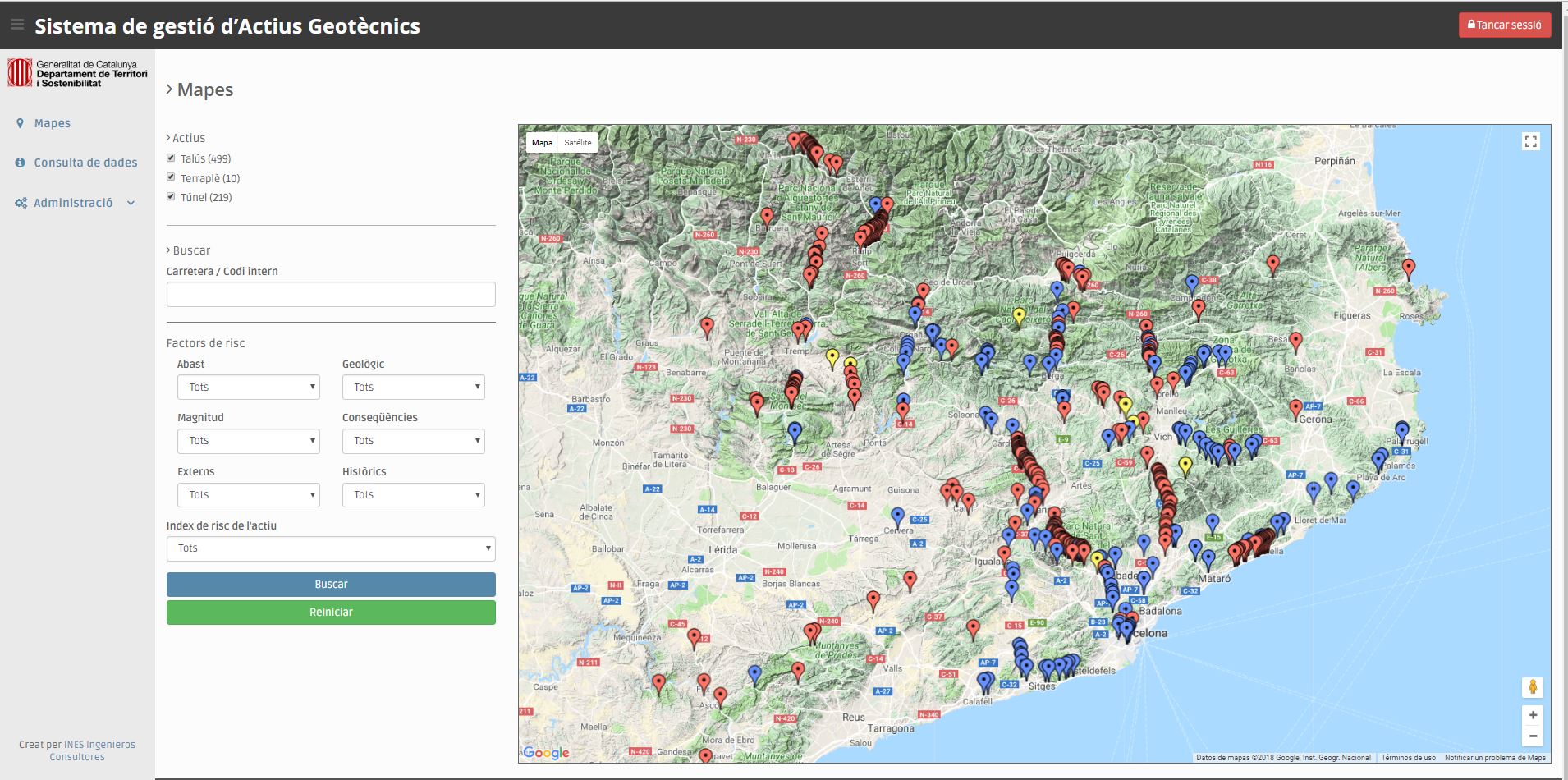
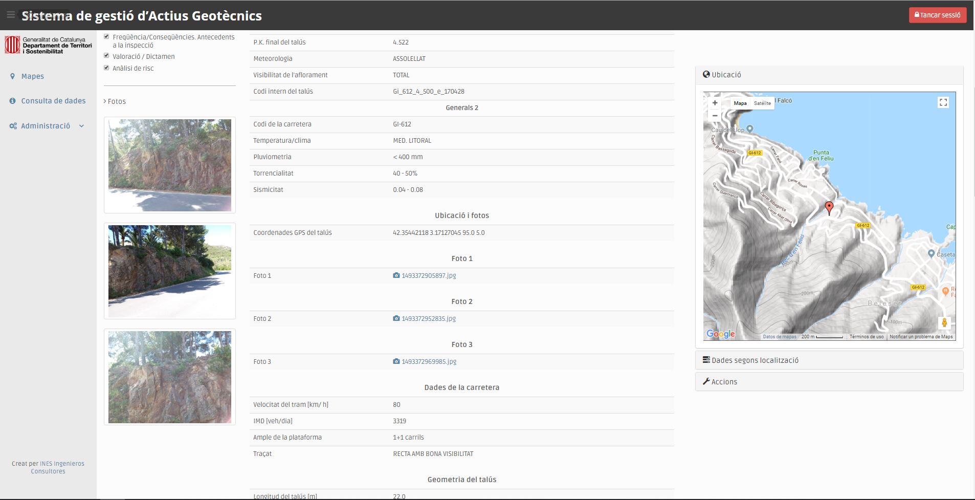
Both the data collection and processing are carried out by means of computer tools, speeding up the process and increasing the efficiency. The data collection is made from Android devices, through a simple and dynamic selection process of fields, GPS data and photographs, which are automatically loaded. The data are then sent to a server, generating an inventory database. These data are computed by an assessment algorithm that displays indicators in a graphic form and automatically edits the inspection sheet. Implementation is still in progress, yet those geotechnical assets deemed to be a priority in the network —around 800 elements— have already been registered.