SERVICE Implementation of an Infrastructure Management System
DATE 2013-2014
LOCATION Saint Vincent and The Grenadines, Caribbean
Saint Vincent and the Grenadines is an island country in the Americas, located in the Lesser Antilles chain in the eastern Caribbean Sea and bordered to the north by Saint Lucia, to the east by Barbados, to the south and west by Venezuela and to the south by Grenada. Its 389 km² territory comprises a total of 32 islands, the main island of St. Vincent and the northern two-thirds of the Grenadines archipelago.
This project, financed by the World Bank under the “Hurricane Tomas Emergency Recovery Project and Regional Disaster Vulnerability Reduction Project”, was aimed at creating a database of the national road network of St. Vincent and the Grenadines, as well as its public buildings.
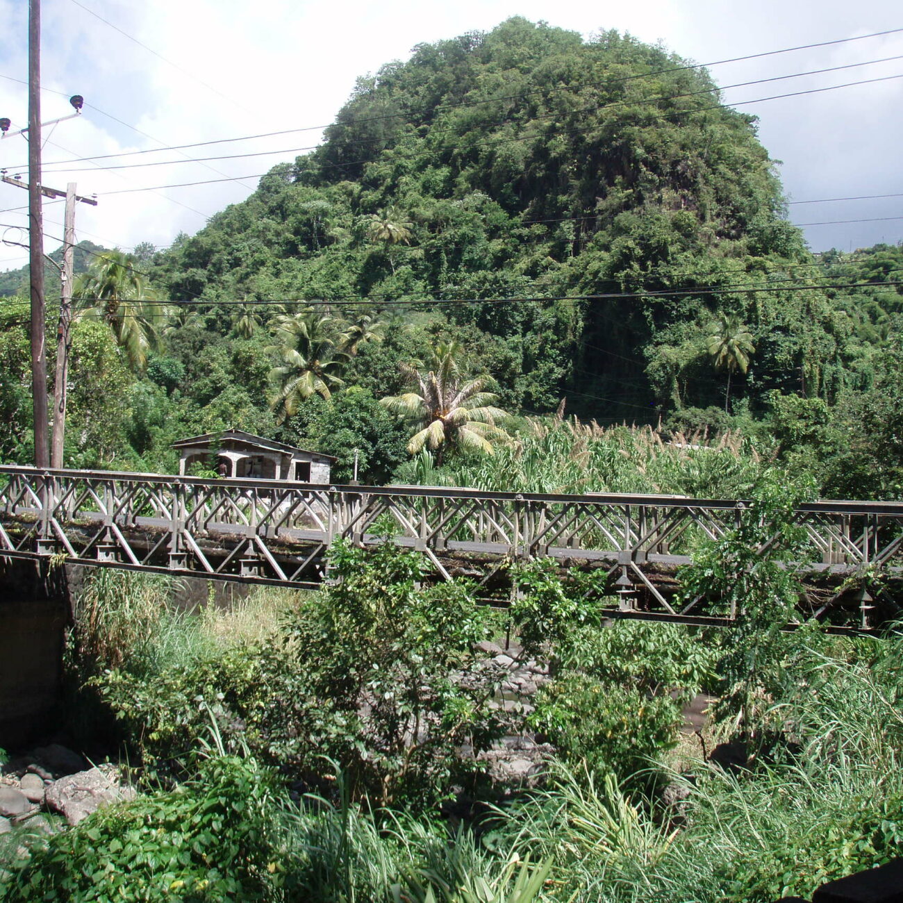
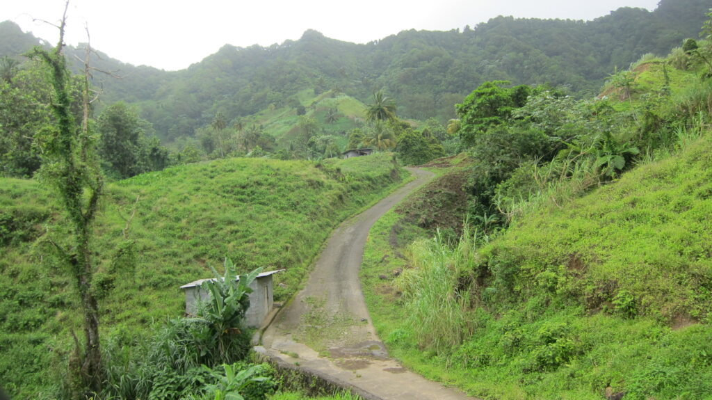
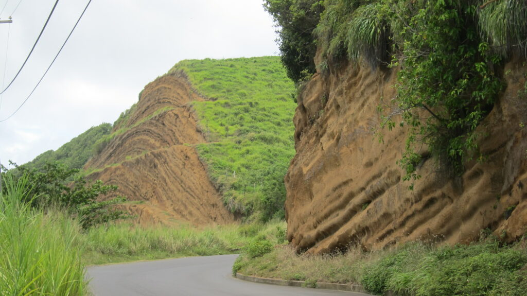
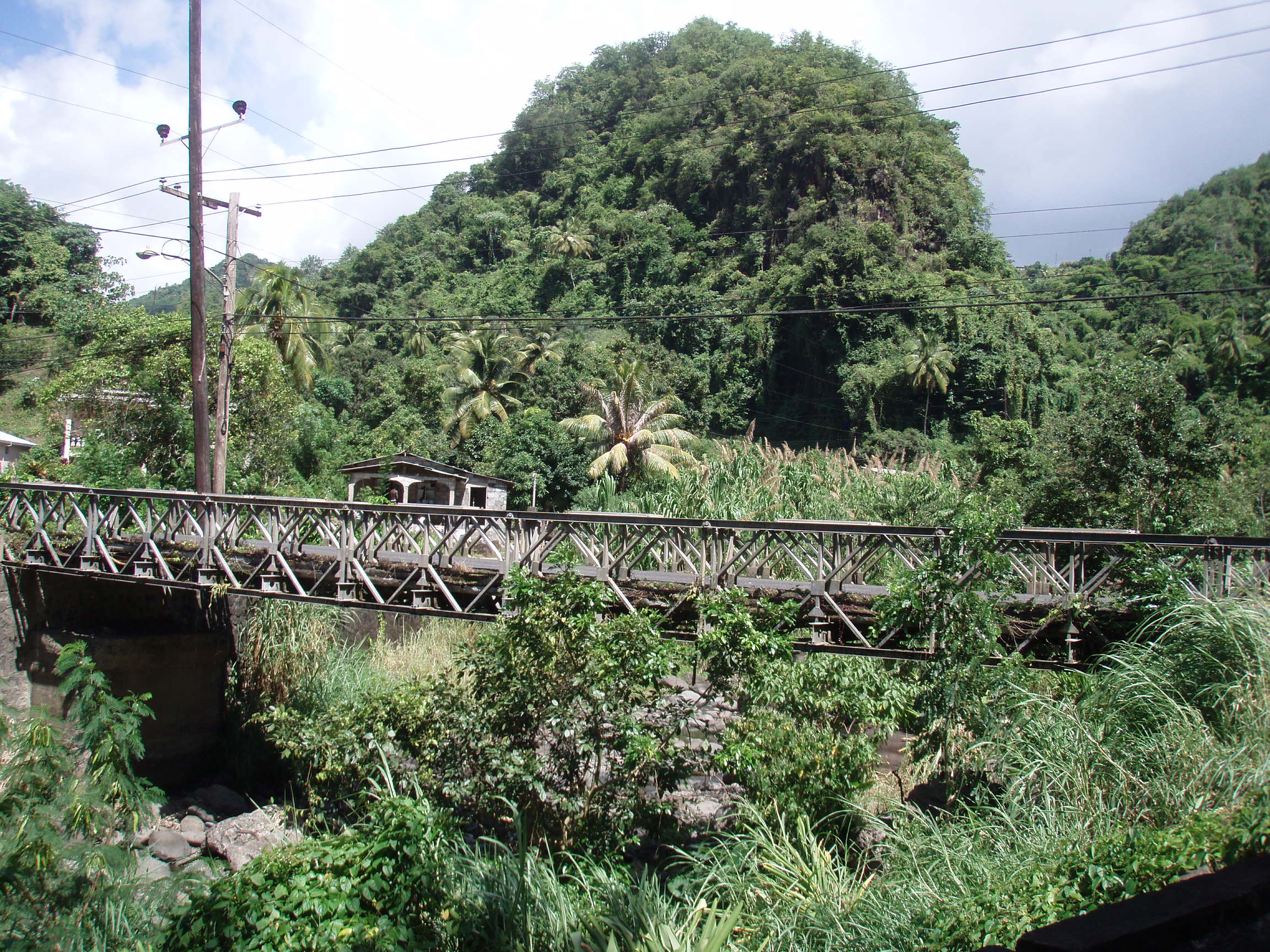
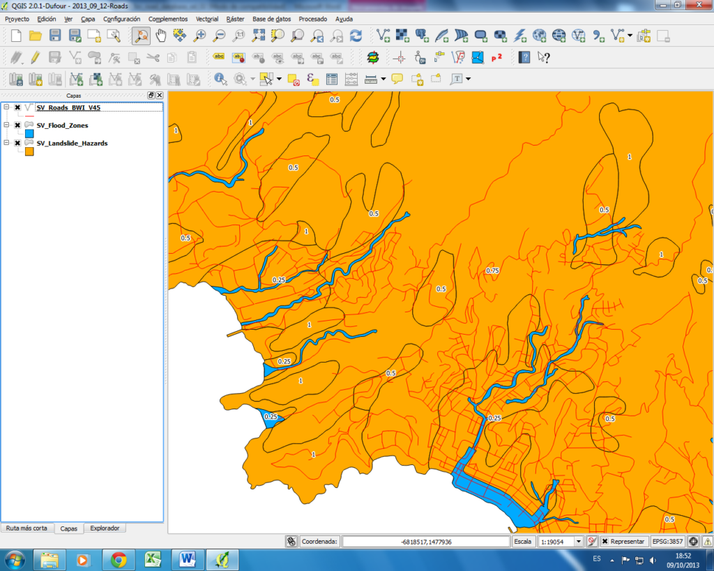
The work involved the inspection of 815 km of roads with their corresponding assets (220 bridges, 198 drainage works, 380 earthworks, etc.) and 366 public buildings, detailing their structural configuration and existing damage.
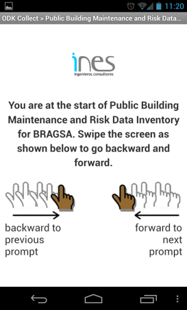
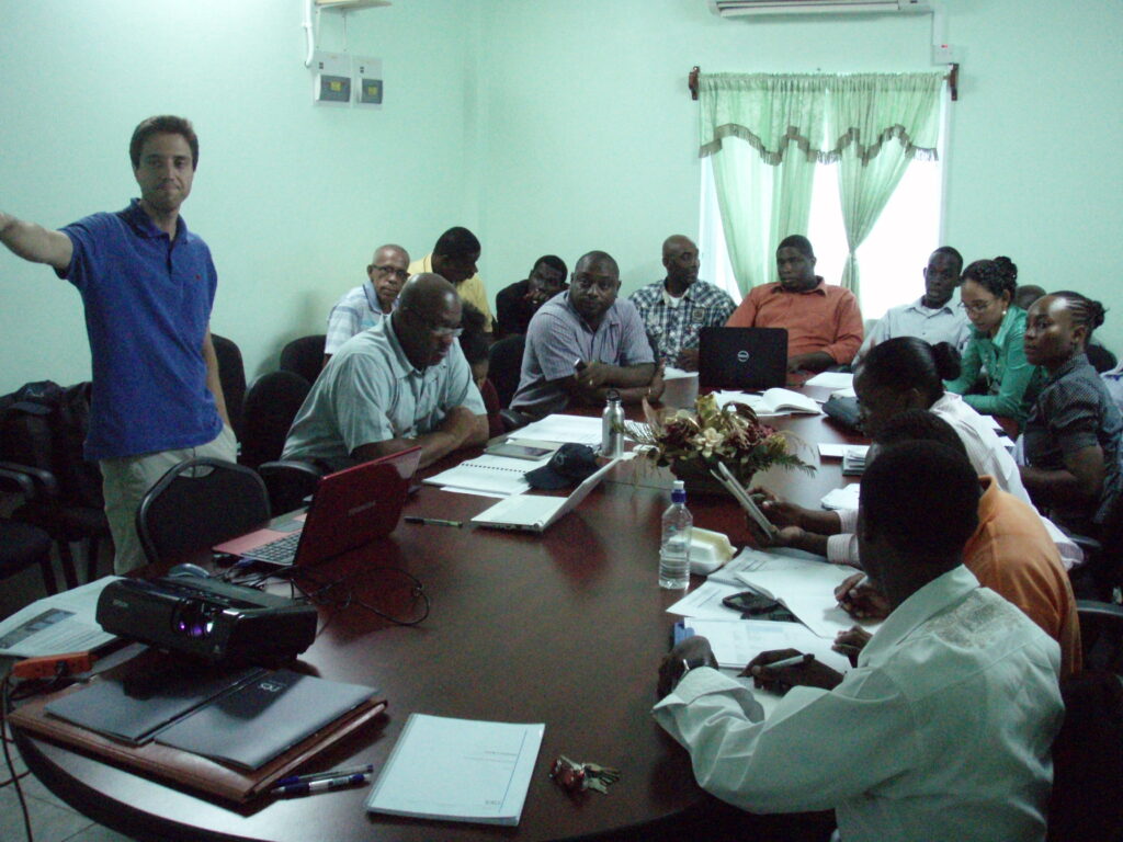
The project sought to provide St. Vincent’s infrastructure manager (BRAGSA) with a tool to facilitate management and increase the government’s capacity to respond to natural disasters and climate change-related risks by linking the database generated with a geo-referenced information system with pre-consultations and a results summary control panel. Local staff were involved in the project and trained to ensure that they were able to manage and update the database after the end of the contract.